


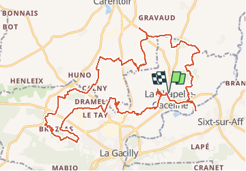

27 km | 32 km-effort


User


FREE GPS app for hiking
 SityTrail
IGN / Geographical institutes
SityTrail World
The world is yours!
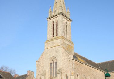
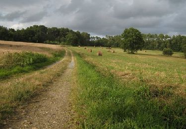
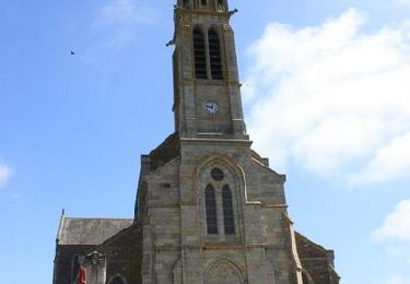
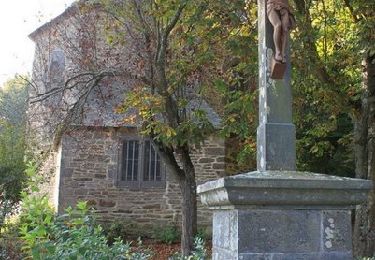
Trail Mountain bike of 30 km to be discovered at Brittany, Morbihan, La Gacilly. This trail is proposed by pates_au_chaud.
04-04-2021 - Rando site FFC - Seul
Walking
Equestrian
Cycle
Walking
Walking
Cycle
Road bike